 Elevation-aware routing can help you seek or avoid challenging paths for bicycles, pedestrians, etc.
 And we make it easy to return elevation data for each leg of your route.
 Learn more in our tutorial: https://docs.stadiamaps.com/tutorials/getting-an-elevation-profile-with-your-route/?utm_campaign=tutorial_route_elevation&utm_source=mastodon&utm_medium=social
#routing #gis #mapping #maps
https://docs.stadiamaps.com/tutorials/getting-an-elevation-profile-with-your-route/?utm_campaign=tutorial_route_elevation&utm_source=mastodon&utm_medium=social
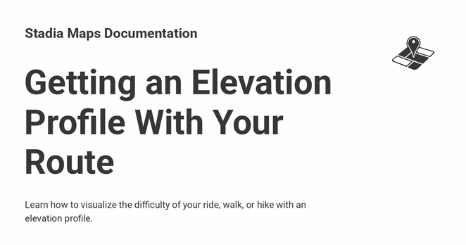
docs.stadiamaps.comGetting an Elevation Profile With Your Route - Stadia Maps DocumentationLearn how to visualize the difficulty of your ride, walk, or hike with an elevation profile.