shakedown.social is one of the many independent Mastodon servers you can use to participate in the fediverse.
A community for live music fans with roots in the jam scene. Shakedown Social is run by a team of volunteers (led by @clifff and @sethadam1) and funded by donations.

Administered by:

Server stats:

269
active users

#gischat

3 posts3 participants0 posts today

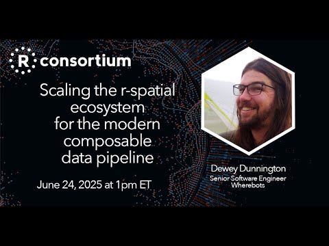
I finally manage to watch @paleolimbot presentation at @RConsortium on "scaling the #Rspatial ecosystem" !

youtube.com/watch?v=tjNEoIYr_a

Quick subjective key points:

- Use the database Luke and learn a bit SQL (I was already converted)

- the diversity of R packages to do some workflows also represent the diversity of standards (s.f.) and steps to reach similar results

- wkt_filter seems very nice (I was using "query" and GDAL/SQL instead)

#NOAA Released the "beta" version of the Modernized National Spatial Reference System

beta.ngs.noaa.gov/

It will become the official CRS in the US, probably next year.
Everything is new: geographic system, vertical system, geoid model, state planes,... and to make it funnier, the geographic coordinates move between 1 and 2 meters respect to nad83 🫣

If you want to play with it in PROJ, look at github.com/jjimenezshaw/NSRS-2

QGIS-Consultant (m/w/d) gesucht! 🔍

Du liebst QGIS und hast Freude an der Planung und Umsetzung von Geoinformationssystemen und Geodateninfrastrukturen mit Open-Source-Software? 🗺️

Dann wollen wir Dich in unserem Team – in Bonn, Berlin, Hamburg, Freiburg oder hybrid! 💪🏻

Wir bieten Dir flexible Arbeitsmodelle, spannende Projekte und ein engagiertes Team. 🧠

Was genau Dich erwartet und was Du mitbringen solltest erfährst du hier:
👉🏻 jobs.maxime-media.de/wheregrou

Helping out a local city.

City: "Our permits system vendor needs the data a certain way so that a permit point can grab related data from other layers."
Me: "Makes sense, whatever we have to do."
Vendor: "I need these specific layers in the same published service URL, they can't be separate."
Me: "I don't think that's true, but whatever, we can do that. Here you go."
Vendor: "Did we say that? We meant the important information has to be in a single points layer with lots of columns."

Continued thread

I need two kinds of tools. First, to make a rendering of roads and crudely drawn buildings around. That's for demonstrating how to rebuild a street to add cycle lanes and wider sidewalks. And trees. Nothing too flashy, but should be understandable and fly-able over in a video. Like the first picture.

Second, I have a photo, and want to add greenery, cycle lanes, walkways, remove cars maybe, though not important. Create before-and-after shots, like the second picture. #gischat

Earlier this month, #TomPatterson released a free (public domain) print-quality physical map of maritime Southeast Asia. It could actually almost double as a map of SEA except the northern part of Myanmar is cut off. 🗺️

shadedrelief.com/island-se-asi

A couple comments about the #Philippines 🇵🇭 portion: Mayon should’ve been included in the peaks and the choice of spelling is unusual (e.g., “Pulog” instead of “Pulag”). But the map is excellent otherwise.

shadedrelief.comIsland Southeast Asia MapFree map showing the seas, glaciers, rivers, lakes, land cover, etc.of the arctic region. In natural color with over 4,000 labels.