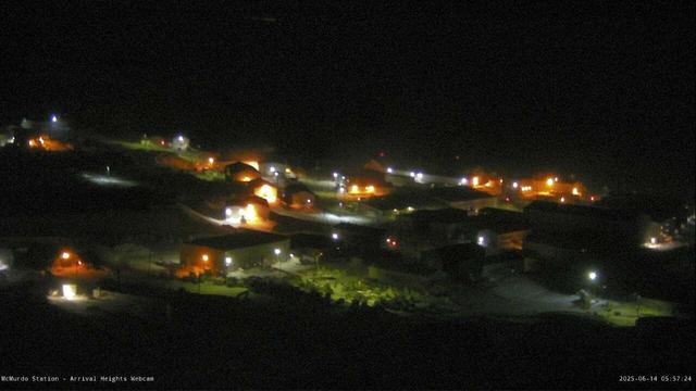
McMurdo Station, Antarctica, today. Learn more about the camera and the station at https://www.usap.gov/videoclipsandmaps/mcmwebcam.cfm and the United States Antarctic Program station time zones https://www.usap.gov/stationtimes.cfm and #southpole #polar #antarctic #PolarResearch #landscapephotography #art #photography #seasons #nsf #usap Image credit National Science Foundation/U.S. Antarctic Program. Map of the area at https://www.usap.gov/USAPgov/scienceSupport/documents/USAP%20LogisticsMap1.pdf #map #antarctica
Recent searches
Search options
#Map
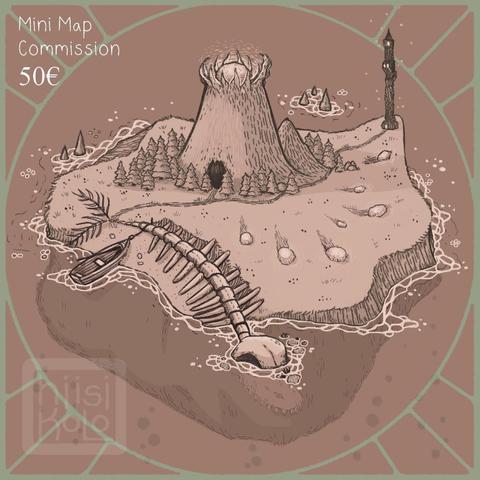
Would you like a little map to color your story?
You can buy one small island of stories from me with the low price of 50€ (incl. paypal and tax) - max 4 points of interest, set color scheme - or you can buy extras for small additional fees!
Buy your commission here:
https://ko-fi.com/c/74053cb8f9
Or contact me: hiisikoloart@gmail.com
for larger projects!
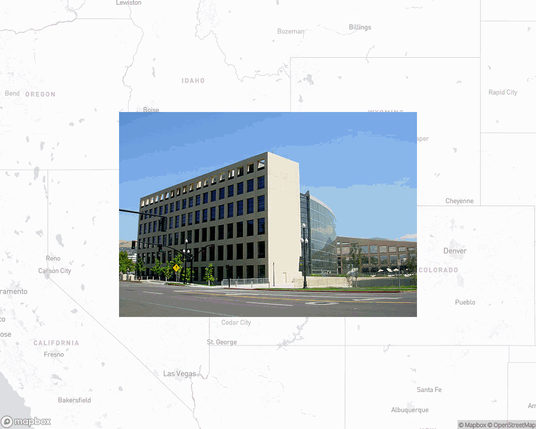
Salt Lake City Public Library, public library in Salt Lake City, Utah, United States.
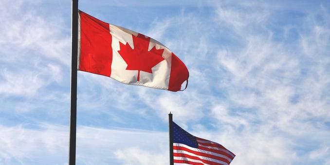
#Canada was just ranked among the best countries in the world and it wiped the #US off the #map - Narcity
https://www.narcity.com/canada-ranked-best-countries-work-life-balance-2025
https://www.europesays.com/2157490/ Pōkeno Whisky continues native wood cask range, works to put New Zealand on whisky map #amazing #busy #campaign #cask #caught #continues #courage #have #herald #inspiration #last #map #national #native #new #NewZealand #nzmes #ON #pkeno #possibilities #put #range #showcasing #since #stories #story #success #team #them #this #TO #waikato #Whisky #whose #with #wood #works #years #zealand
@openculture love that this was a paper #map to begin with 

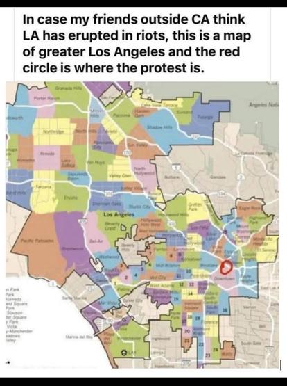
Um, yeah- NOT the whole city.
Side note: I learned yesterday that the city of Los Angeles is about 1/10 the size as the state of Connecticut. Which isn't "ablaze," either.
Image from https://open.substack.com/pub/statuskuo/p/countering-their-lies
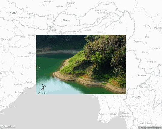
Kaptai National Park, national park in Bangladesh.
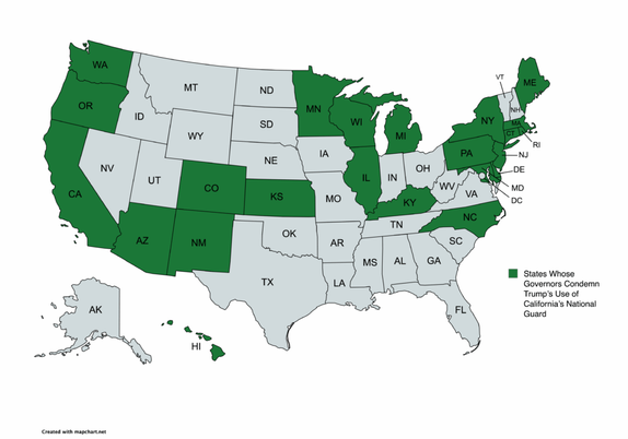
The 22 State Governors Have Signed A Letter Condemning Trump’s Use Of California’s National Guard https://www.byteseu.com/1093273/ #Map #MapPorn #MapPorn #Maps
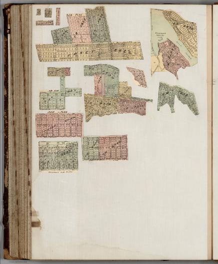
Plate 46, verso, Los Angeles, California. https://www.davidrumsey.com/luna/servlet/detail/RUMSEY~8~1~246133~5514788
OpenStreetMap could be the perfect tool to do this, but unfortunately, in my experience, most street parking has not been tagged.
You can help: it's like a game, just look at satellite photos and draw a box around the street parking spaces.
Openstreetmap.org
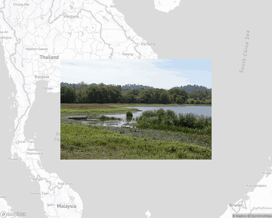
Cát Tiên National Park, national park in Vietnam.
https://en.wikipedia.org/wiki/C%C3%A1t_Ti%C3%AAn_National_Park
I found out it is harder to publish an app to the Play Store than is is to publish an app to the App Store. To publish to the Play Store you need 12 testers. Does Google know how hard it is to make friends?
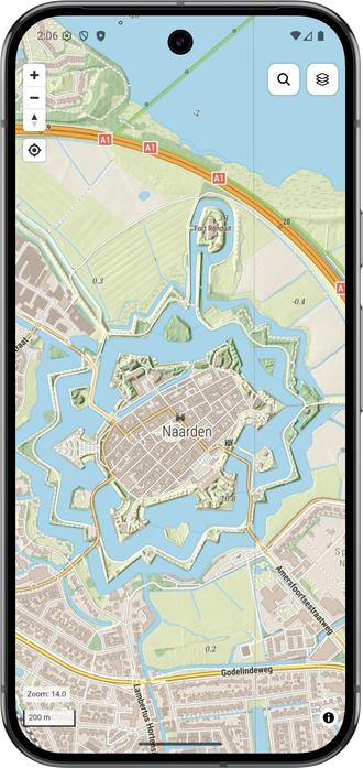
If you are on #Android want to try out a super simple #map app with a gorgeous map of the Netherlands (map5topo.nl), DM me your e-mail and I will add you as a tester.
I'm #mapping in @wvo 's #cube2 #sauerbraten engine again. We'll be editing multiplayer over LAN at @moonbrain
headquarters this wednesday. I've generated very large heightmap brushes with #python to harness the largest map size of the engine. Now if I could only remember how colorizing textures and texture blending worked...
Welcome. There us no algorithm putting your posts into eyes.
Engagement on Mastodon is by hashtags. Make new hashtags, find well.used ones.
After typing a # Mastodon will the you the number of users for the hashtag.
For example if you type - #usp - Mastodon will say 1.9k under highlight meaning almost two thousand recent posts with rhe US politics hashtag "#uspoli"
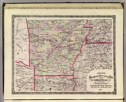
Cram's Rail Road & Township Map of Arkansas. Published by Geo. F. Cram. Proprietor of the Western Map Depot. 66, Lake St. Chicago Ills. 1875. https://www.davidrumsey.com/luna/servlet/detail/RUMSEY~8~1~3156~410074
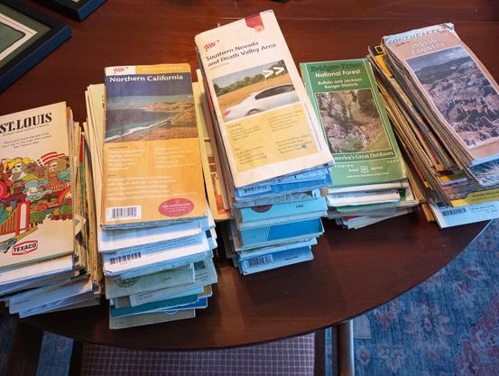
I found having free downloaded Organic Maps on my phone very useful for navigating through towns. But, for planing & traveling the open road, paper maps are a must have. Paper maps provide perspective on a large scale but also fine detail. Paper maps include geographic places names, jurisdictional boundaries, places of interest, infrequently traveled roads all of which are lacking on digital maps, even if you zoom way in. So get the big picture, get paper maps!
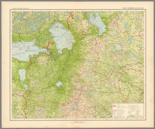
RSFSR Leningradskaya Obl. Bolshoi Sovietskii Atlas Mira II. Moskva 1939. https://www.davidrumsey.com/luna/servlet/detail/RUMSEY~8~1~331044~90099441
Sect. 201. Theil von Steiermark = Partie de la Stirie. Weimar, im Verlage des Geographischen Institut. (to accompany) Topographisch-militairische Charte von Teutschland : in 204 Sectionen ... 1807. = Carte topographique et militaire de L'Allemagne ... 1807-1813. https://www.davidrumsey.com/luna/servlet/detail/RUMSEY~8~1~316955~90085834

