We're going to lose power tomorrow, aren't we, PGE? GET THE CREWS TO THE EAST SIDE NOW! Thank you. Now for a word from PBOT:
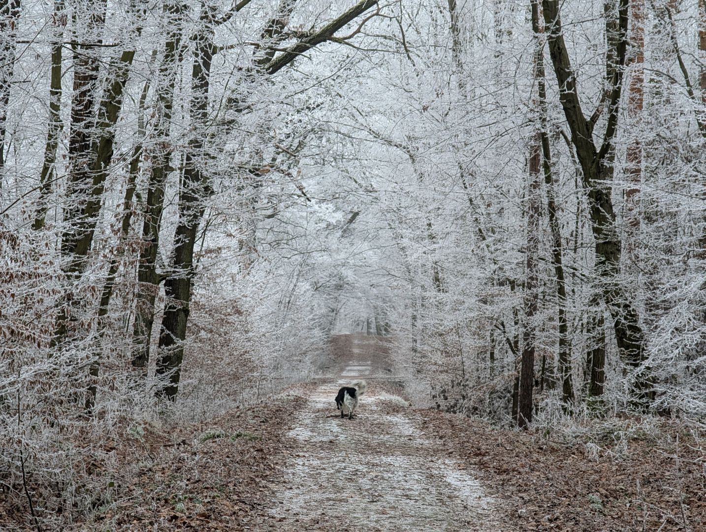
(Feb. 12, 2025) The Portland Bureau of Transportation (PBOT) advises the traveling public to prepare for freezing temperatures and potential snow and freezing rain starting Thursday morning and continuing through Friday morning. Continued cold temperatures lingering on Friday could make for continued icy conditions, especially in areas at high elevation or east of I-205.
Use extreme caution traveling Thursday morning. Streets and sidewalks will likely be frozen and slick, creating hazardous conditions for all travelers. If possible, delay travel until conditions are safer or consider using public transit. People with the option to work remotely are encouraged to do so.
PBOT has been placing anti-icer on Portland streets nightly, including 2,000 gallons of liquid anti-icer last night so they're ready for the potential for snow during the Thursday morning commute.
Forecast and timing
The National Weather Service has advised PBOT that a wintry precipitation mix of snow and freezing rain will arrive to Portland on Thursday morning, potentially impacting the commute.
Freezing rain could make surfaces such as sidewalks, streets, and bridges slick and dangerous. Ice also adds weight to trees, which can cause trees or limbs to fall and cause power outages.
Strong easterly winds are also forecast for Wednesday and Thursday, with the highest impacts in East Portland and other areas closer to the Columbia River Gorge.
The forecast has some uncertainty. In the days and hours before a winter storm, forecasts often change. If you are traveling tomorrow morning, adjust your plans to conditions you see in real-time.


 Tronicat LaMiez


 That's


.
Cold.
Drawing - Charcoal On Paper.
Arms crossed, hands gripping upper arms, attempting to warm up in the cold of the night. A shirt or coat would help.")


")