1/5
July 15, 1983, 42 years ago today: I came out of the forest at Caledonia State Park, about the halfway point of today’s hike. The Appalachian Trail ran directly past a large fenced-in public swimming pool. Into this relatively small body of water was crammed such an incredible mass of humanity it appeared to be one single huge screaming, laughing, splashing organism.
#backpacking
1/3
July 15, 1983, 42 years ago today: Last night was the sultriest yet on this hike. I knew then that today would be a memorably hot one. Sure enough, it was already around 80 when I hit the trail this morning at 7:15. The Appalachian Trail from the shelter to Chimney Rocks was like a New England footpath — a rocky, deeply eroded gully which leapt straight up the mountain.
DC day 3: Woodworth, Devils Crags 4 and 2
I woke again at my lake below Devils Crags to watch the sun creep down the Black Divide, eat my morning glop, and head out to finish up with the Crags. I originally planned to climb Crag 2 from the east, as Eichorn had in 1933, but the chute looked snowy and sketchy, so I decided instead to hike around to the other side, getting a clear view of the
https://drdirtbag.com/2025/07/15/dc-day-3-woodworth-devils-crags-4-and-2/
#Backpacking #California
DC day 2: Devils Crags 10-5 and 3, White Top
The Devil’s Crags are buried deep in the Sierra, near the southern end of the Black Divide between the deep valleys of Le Conte Canyon and the Gorge of Despair. They are a notable landmark from the Palisades to their east but, rising to only a bit over 12,000 feet, they are often obscured by other peaks. The main crag was first climbed by ear
https://drdirtbag.com/2025/07/14/dc-day-2-devils-crags-10-5-and-3-white-top/
#Backpacking #California
1/2
July 14, 1983, 42 years ago today: High Rock had a takeoff platform for hang gliders and excellent views north and west of the Cumberland Valley in Pennsylvania. A glider was airborne as I arrived. I sat and watched for a few minutes and shot some pictures of the views. The stifling humidity limited visibility, but the enormous valley lay dreamlike beneath the mists.
DC day 1: Approach and Rambaud
Backpacking sucks, but sometimes it's necessary, or at least logistically convenient. I was getting tired of doing mundane, obscure peaks within a moderate day of trailheads, and there remain very few interesting unclimbed peaks for me within that radius (shrinking with age). Thinking upon my mental to-do list, a couple of ideas came to mind. First, though I had day-hi
https://drdirtbag.com/2025/07/13/dc-day-1-approach-and-rambaud/
#Backpacking #California
1/6
July 13, 1983, 42 years ago today: On the other side of I-70, the stiff climb up Pine Knob was a harbinger of things to come. I had been told that the AT becomes much more rugged in the northern half of Maryland. I could also see this for myself by scanning the elevation profiles on my map.
1/4
July 13, 1983, 42 years ago today: I climbed out of Crampton Gap, leaving Gathland State Park. The Appalachian Trail followed the ridge crest along a combination of woods roads and paths similar to yesterday’s route.
Last year in mid-July, I was backpacking the Gray Wolf and Cameron Creek loop in Olympic National Park. Beyond the Three Forks campsites, we only saw 4 people in 4 days. If you need some nature solitude, please consider this less-traveled trail so it stays maintained just by some boots on the trail. This photo is from descending Cameron Pass into the Cameron Creek alpine meadows.
(tall photo might need a click to see full view)
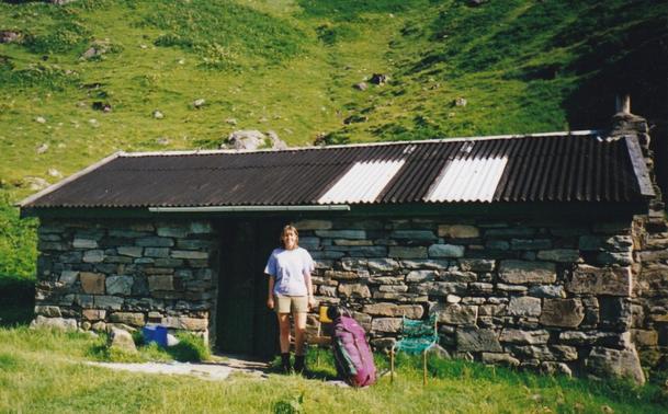
Just published a new blog post: a solo walk through Knoydart in 1995. Three (ish) Munros, and a stormy night above Mam Barisdale. A look back at the gear I carried, and the ground I crossed.
http://noroutemap.co.uk/2025/07/08/a-walk-back-in-time-through-knoydart/

1/4
July 12, 1983, 42 years ago today: Not far past the shelter, the Appalachian Trail left the canal path, crossed the B&0 Railroad tracks, passed under US 340, and began the ascent of South Mountain. That is the long ridge I will be following throughout Maryland and into southern Pennsylvania. The climb was not all that bad.
1/3
July 12, 1983, 42 years ago today: On the Maryland side of the river (5 states down, 9 to go), I crossed the remains of the old Chesapeake and Ohio barge canal. It was a main artery of trade between Washington. D.C. and the interior for a time after its construction in the mid-1800’s. Badly damaged during a Potomac River flood in 1924, it was never reopened.
1/4
Pictured: the Potomac River when I crossed it leaving town July 12.
July 11, 1983, 42 years ago today: After a mile of descent, the trail crossed the Shenandoah River on a highway bridge and climbed the steep bluffs lining the opposite shore, beginning the last mile into town. Harpers Ferry, West Virginia is located on the roughly triangular-shaped peninsula between the rivers
1/2
July 11, 1983, 42 years ago today: After four miles on the Appalachian Trail, I reached the junction with the Loudon Heights Trail, which descended steeply off the west side of the ridge into West Virginia. I turned onto this path, which is part of the blue-blazed alternate route through Harpers Ferry.
1/4
July 10, 1983, 42 years ago today: The trail left the road, went into the woods, and entered West Virginia. The last few miles of the Appalachian Trail in Virginia drifted back and forth across its state line with West Virginia. The trail for the most part was on rocky old woods roads.
