
Strava’s #geolocation causes yet another national security incident this week as bodyguards in #Sweden map their run performances for the world to admire.
This problem has happened before, with the #PerverseIncentives of the #gamification and #privacy permutations that violate the least-surprise #ux principle. Here’s how to turn these privacy leaks off: https://lifehacker.com/health/stravas-heatmap-privacy-problem
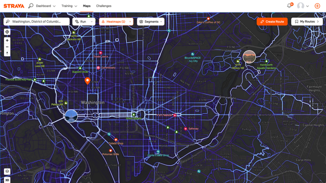
Heatmaps cause problems
https://www.bicycling.com/news/a44150917/report-strava-heatmap-privacy-loophole/ https://mastodon.cloud/@slashdot/114830114766299781
Lifehacker · Why Strava Is a Privacy Risk for the President (and You Too)Strava is a hugely popular, and really nicely featured, running and cycling app. It’s oumyr pick for the best running app, despite its flaws. But it’s always had serious privacy issues, including the one just reported by French newspaper Le Monde—it allegedly revealed the locations of world leaders via their bodyguards’ Strava accounts.