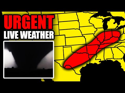
#SevereWeather
Mesoscale Discussion 0378
NWS Storm Prediction Center Norman OK
1122 AM CDT Thu Apr 03 2025
Areas affected: SE OK; NE TX; N LA; central/southern AR; western/middle TN; N MS; far NW AL
Concerning Severe potential: Watch likely
Probability of Watch Issuance: 80 percent
SUMMARY: The severe storm threat will increase into this afternoon. One or more watches will likely be needed, though timing is somewhat uncertain.
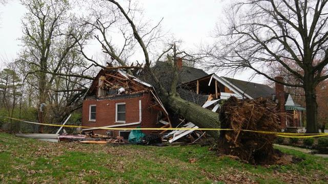
DISCUSSION: Scattered strong storms are ongoing this morning from eastern OK into AR & western TN. These storms are currently elevated to the north of an outflow-reinforced front draped from the ArkLaTex into southern AR and northern MS. A rather strong southerly low-level jet (as noted on regional VWPs) is expected to persist into the afternoon, which will help to maintain elevated convection north of the front. This regenerative convection will likely tend to limit northward advance of the front through the day...Along/south of the front, a favorable tornado environment is already in place, with MLCAPE of 1500-3000 J/kg, strong deep-layer shear, & enlarged low-level hodographs with 0-1 km SRH of 200-400 m2/s2. This environment will remain in place into this afternoon. Decreasing MLCINH with time will support potential for surface-based storm development near & south of the front… Any sustained surface-based supercell within this environment would pose a significant tornado (EF2+) threat, in addition to very large hail & severe wind potential.


 &
&