What a terrible article, no explanation of why MethaneSat went quiet, likely power loss. Time to build a constellation of these. Methane reduction is easy wins.
#remotesensing #globalwarming #methane
https://phys.org/news/2025-07-methanesat-climate-spy-satellite-quiet.html
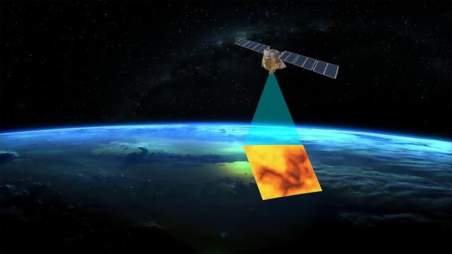
phys.orgMethaneSat: The climate spy satellite that went quietSatellites circling Earth have many different functions, including navigation, communications and Earth observation. About 8%–10% of all active satellites are military or "dual use" serving intelligence or reconnaissance functions as spy satellites.


 I would like to exploit it for some work stuff.


 Greg Cocks


 serving as a foundation for advanced hydrologic and hydraulic modelling, including for flooding and drought